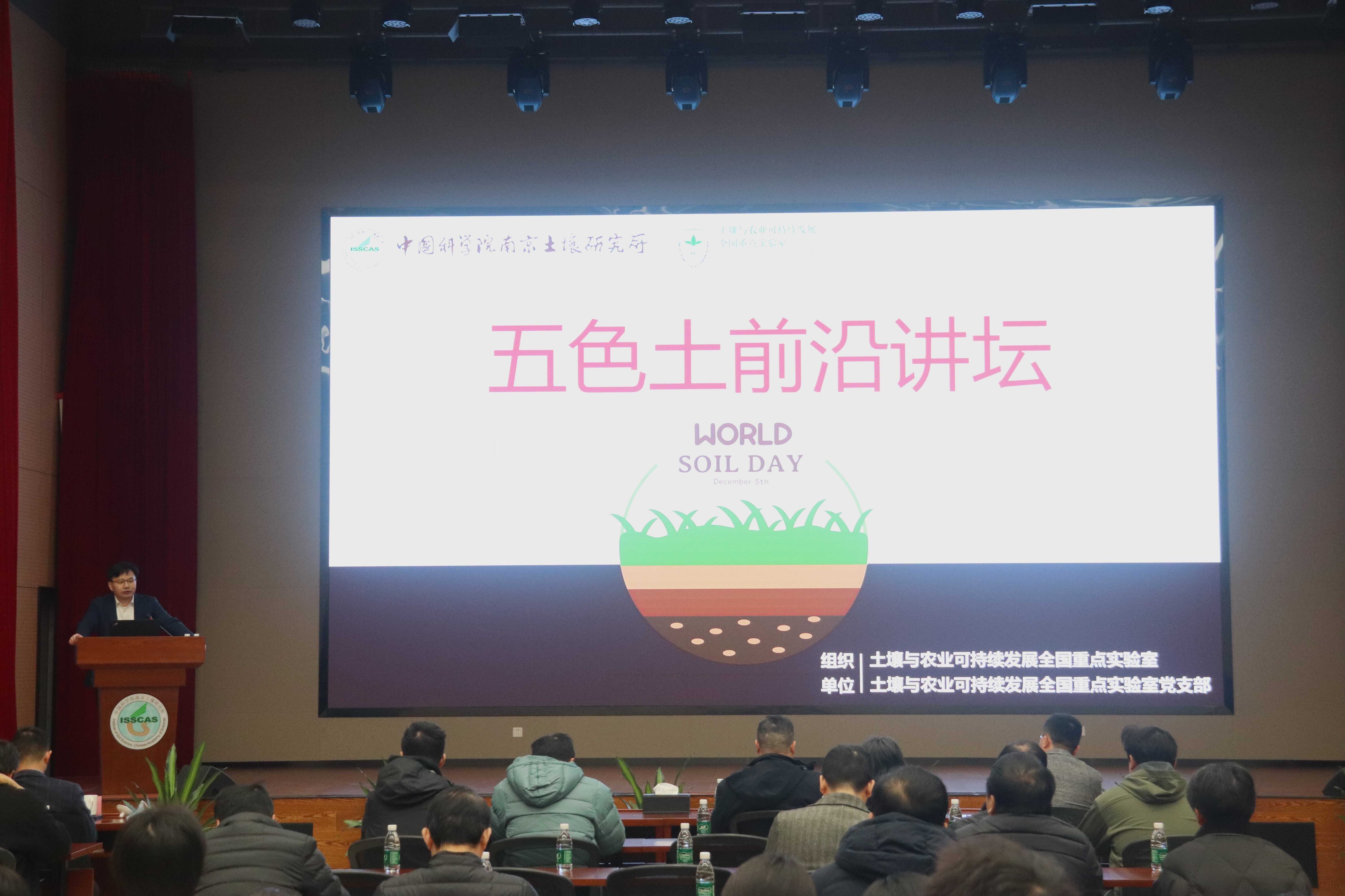
2025年12月5日上午,由土壤与农业可持续发展全国重点实验室发起并主办的首届五色土前沿讲坛在中国科学院南京土壤研究所成功举行。
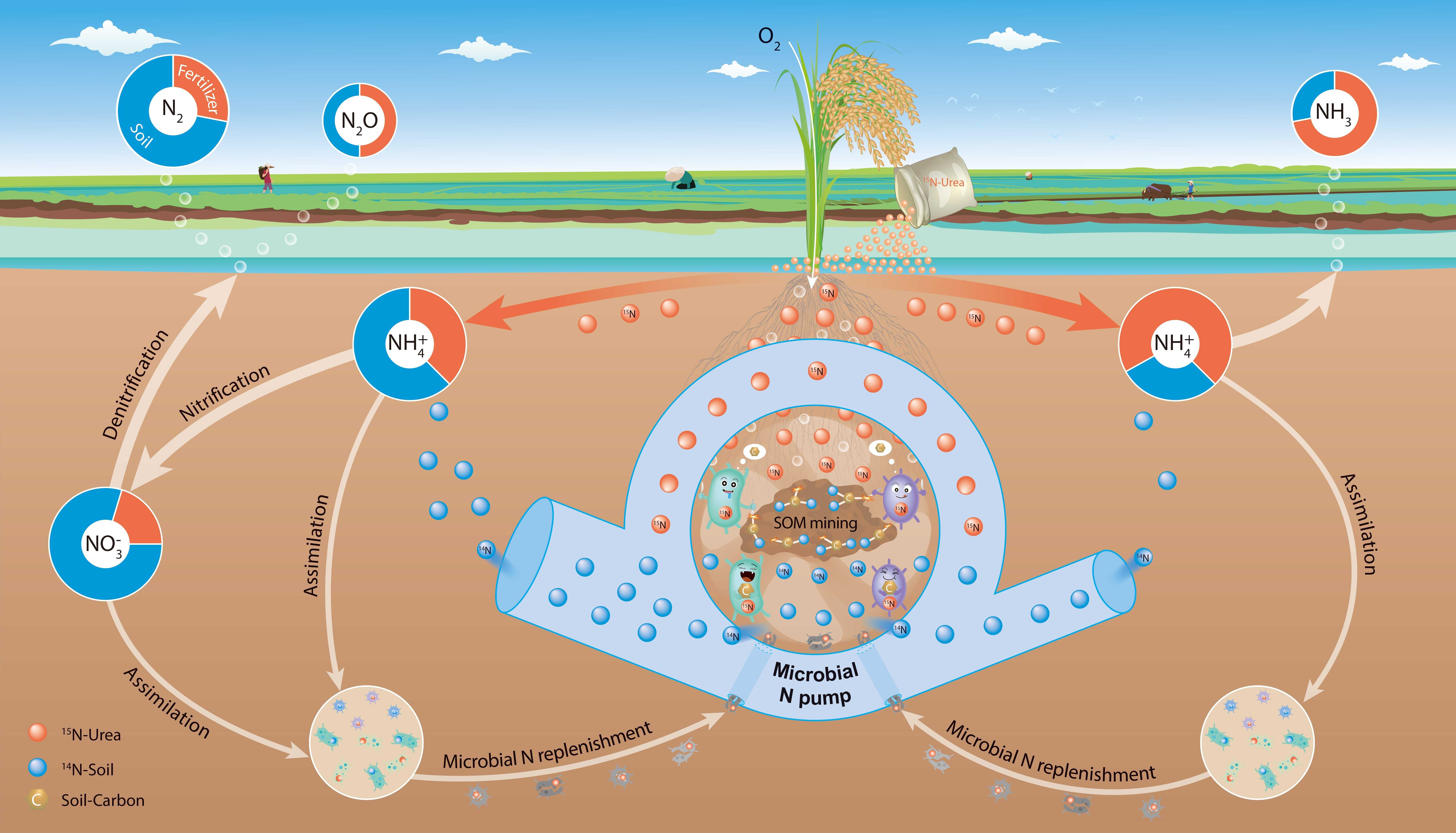
针对这一科学难题,研究团队创新性地将15N同位素示踪与膜进样质谱技术相结合,构建了稻田气态氮损失原位观测方法体系,首次实现了在完整水稻生长季内对N2、氨气和氧化亚氮排放的同步测定,并精准解析其来源。
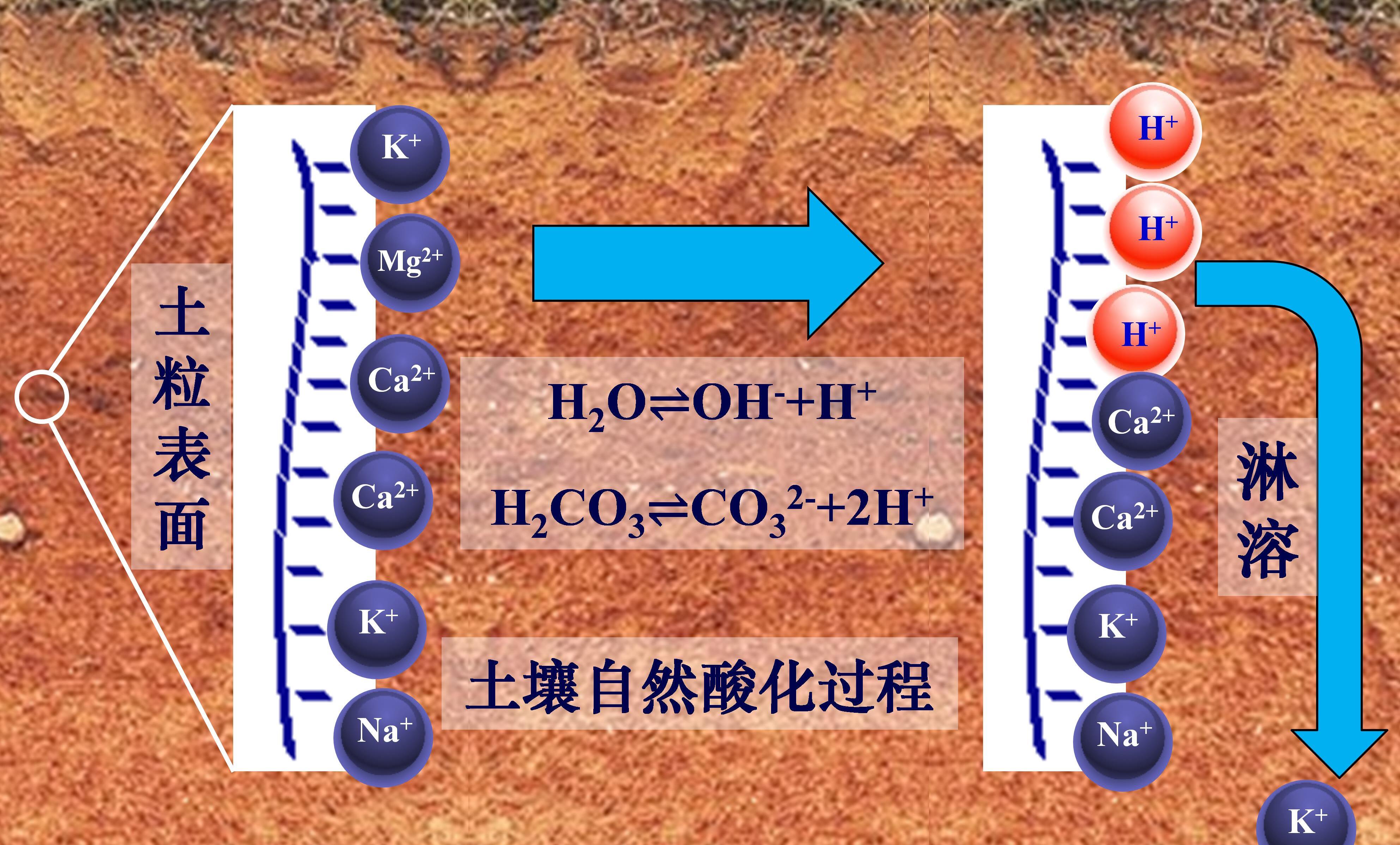
土壤中的盐基阳离子指正二价的钙和镁及正一价的钾和钠(Ca2+、Mg2+、K+、Na+),它们大部分通过静电吸引作用吸附于土壤固相表面,这也使得带负电荷的土壤表面保持电中性状态,这部分盐基阳离子称为交换性盐基阳离子。小部分盐基阳离子存在于土壤溶液中,