4月24日,应土壤与农业可持续发展国家重点实验室张甘霖研究员邀请,希腊克里特理工大学Nikolaos Nikolaidis教授到南京土壤研究所进行学术交流,并作了题为《Koiliaris Critical Zone Observatory: A Platform for Sustainable Water and Soil management》的学术报告。来自土壤所和河海大学等单位的40余名师生参加了会议。
地球关键带(Earth’s Critical Zone)是指地球表层系统中自树冠层一直延伸至地下水深层的薄薄一层,控制着土壤的发育、水的质量和流动、化学与生物循环,对维持地表生命尤为关键。
Nikolaos Nikolaidis教授以Koiliaris关键带观测站为例,介绍了关键带科学如何服务于水土资源的可持续利用。首先,Nikolaos Nikolaidis教授介绍了Koiliaris关键带观测站设立的科学背景、问题假设和研究区概况。接着,他阐述了观测站的顶层设计、野外观测手段和分析测试工作。随后,他重点介绍了观测站在土壤功能建模和尺度扩展方面所做的工作。最后,Nikolaos Nikolaidis教授分享了他在教学和团队建设方面的经验,以及他在科研成果转化方面的工作。
本次会议促进了中欧关键带科学研究者之间的交流,其讲座有望给师生提供与时俱进的地学研究方法体系的介绍和示范。(图文/杨顺华)
报告人简介:Dr Nikolaos Nikolaidis is a professor in the School of Environmental Engineering and has served as the Deputy Rector for Financial Planning and Development of the Technical University of Crete. Prior to joining TUC, he was a professor and director of the Environmental Engineering Program at the University of Connecticut, USA. He has participated in many European and Greek funded watershed studies (eLTER, advance-eLTER, etc). He is using a “holistic” approach in solving environmental problems by conducting field studies, laboratory experimentation and mathematical modeling. He has extensive experience on watershed monitoring and modeling in Greece, Europe and the US and has developed watershed models such as the ETD model, the NTT model and the HM-1D and 3D models, the Reach Scale tempQsim model for temporary rivers, the Karstic model for predicting the flow and water quality and the integrated soil critical zone model. He is the Director of Hydrogeochemical Engineering and Remediations of Soils Laboratory (HersLab – www.herslab.tuc.gr) and manages the Koiliaris CZO. Koiliaris River watershed is a Critical Zone Observatory (www.koiliaris-czo.tuc.gr) that represents severely degraded soils due to heavy agricultural impact such as grazing, over many centuries.
 Nikolaos教授在作报告
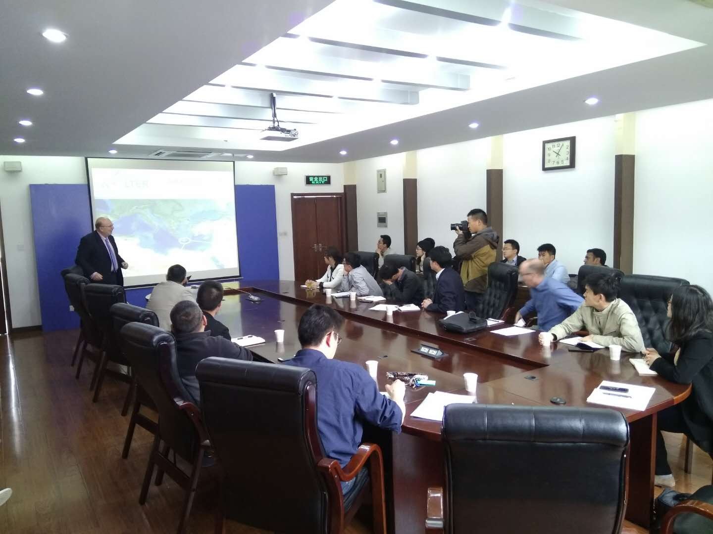 会议现场
会议现场